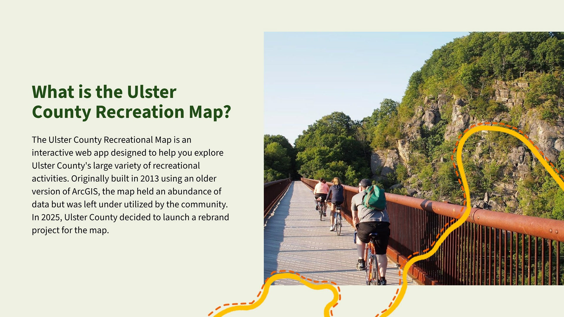
I worked with the Ulster County Executive Office’s Communications team on the UI/UX for redesign of the County’s recreation map, with a focus on the County's rail trails. 
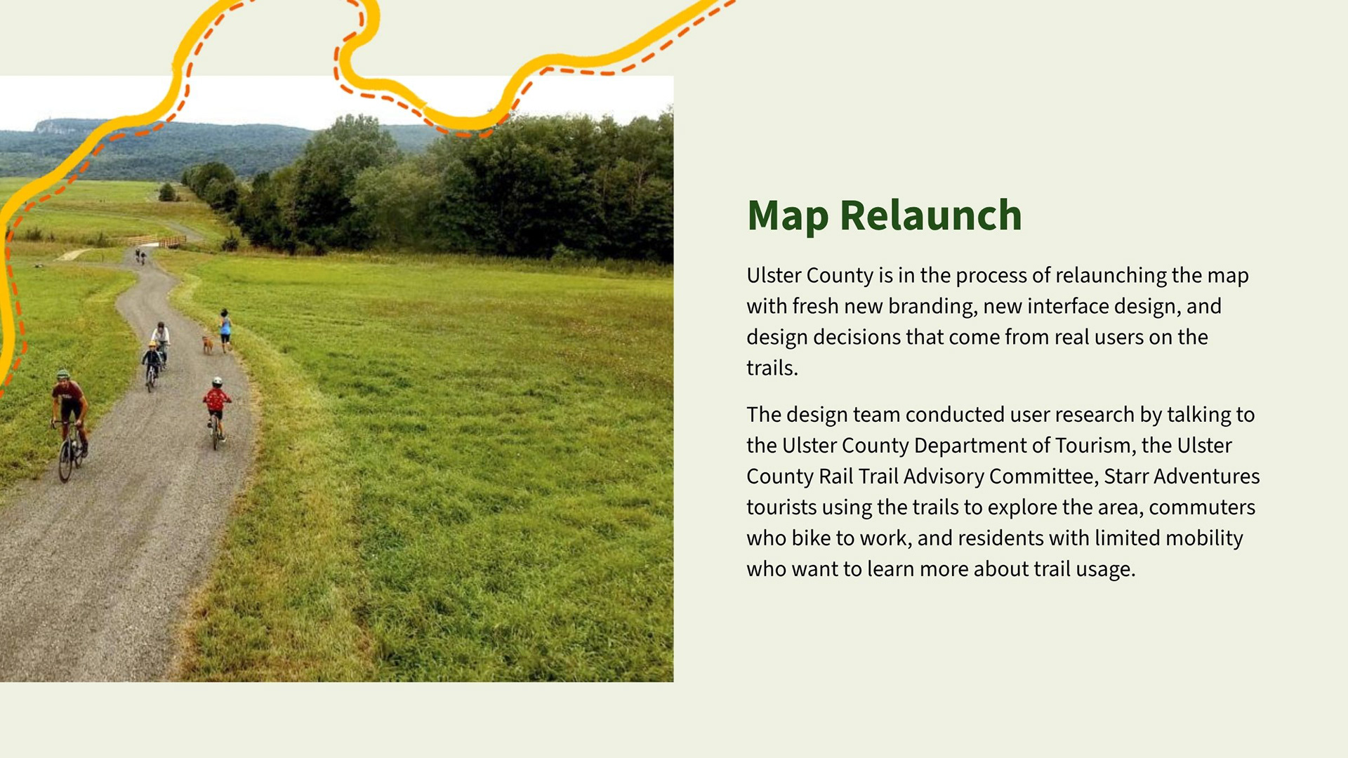
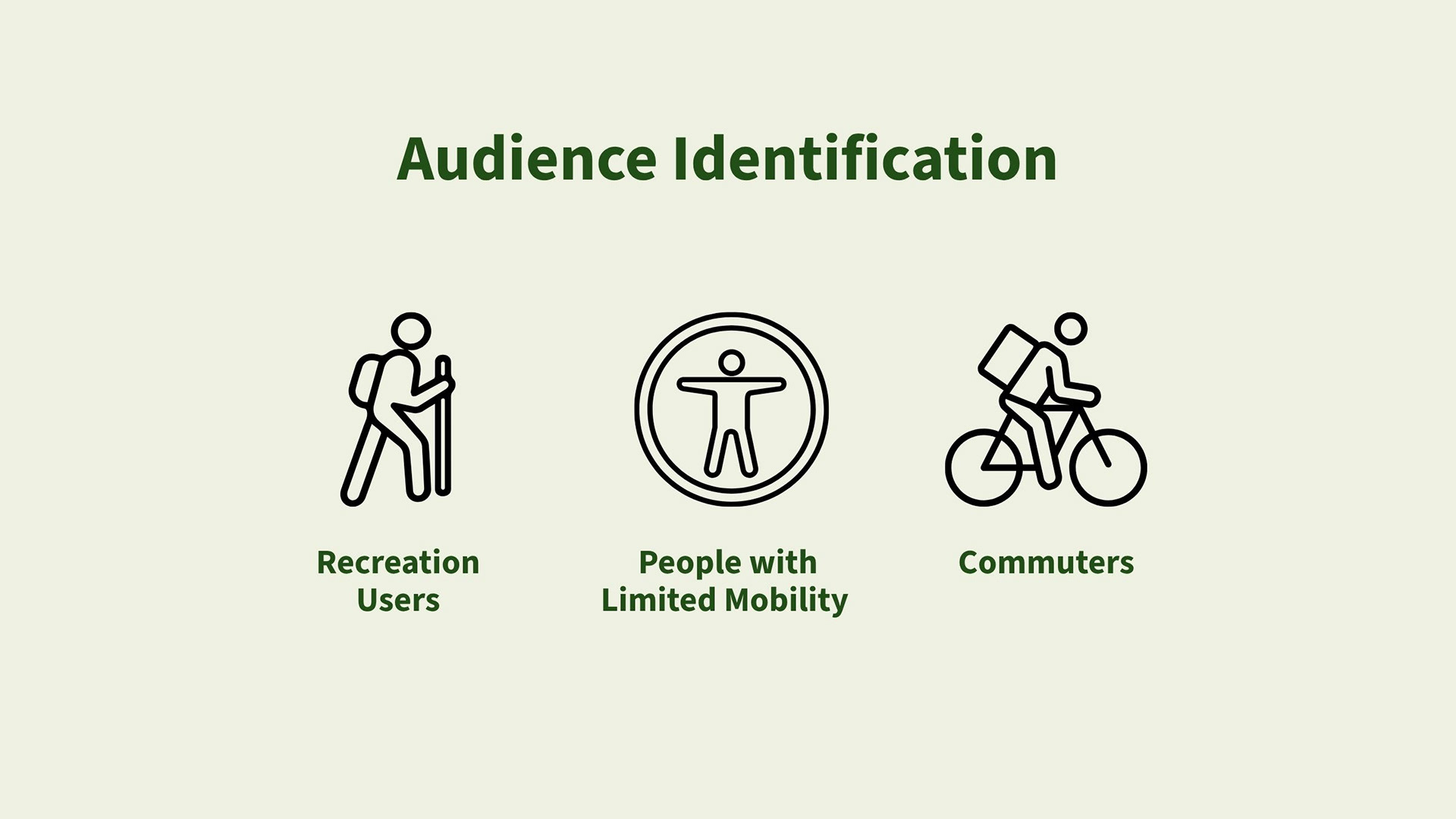
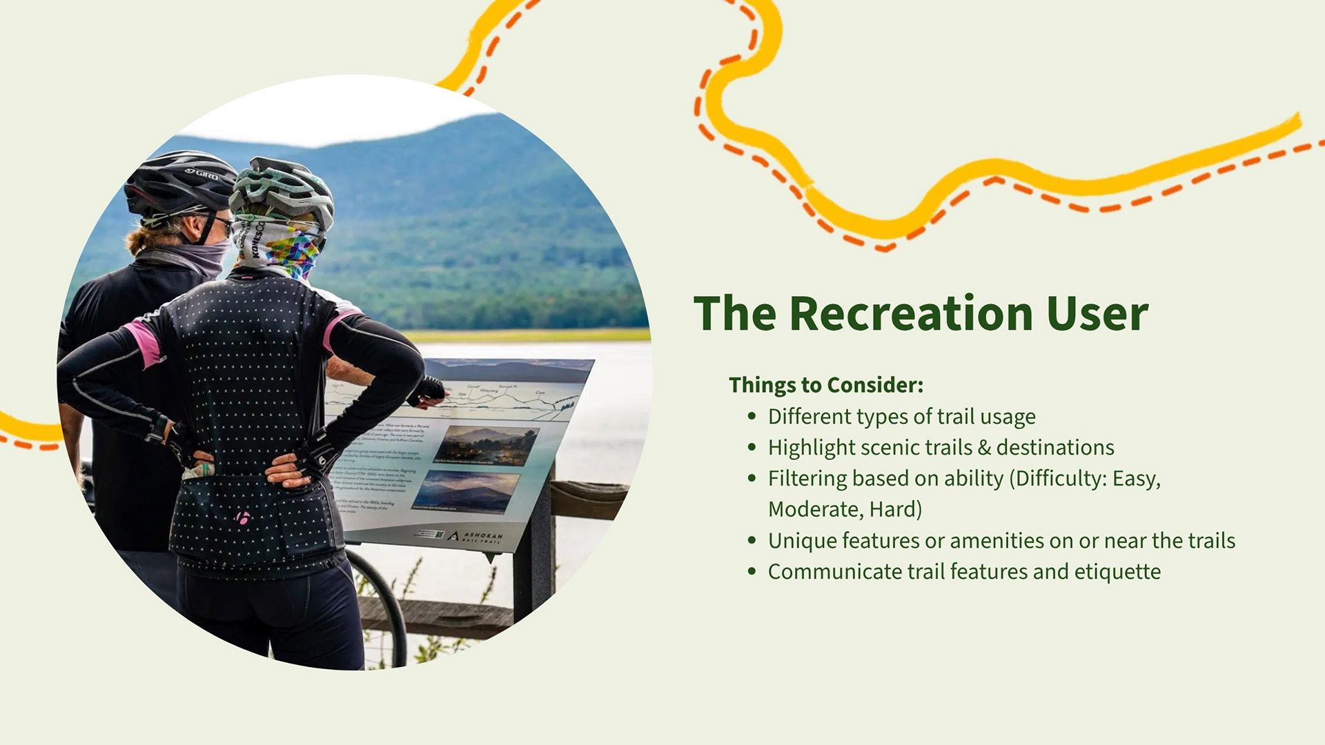
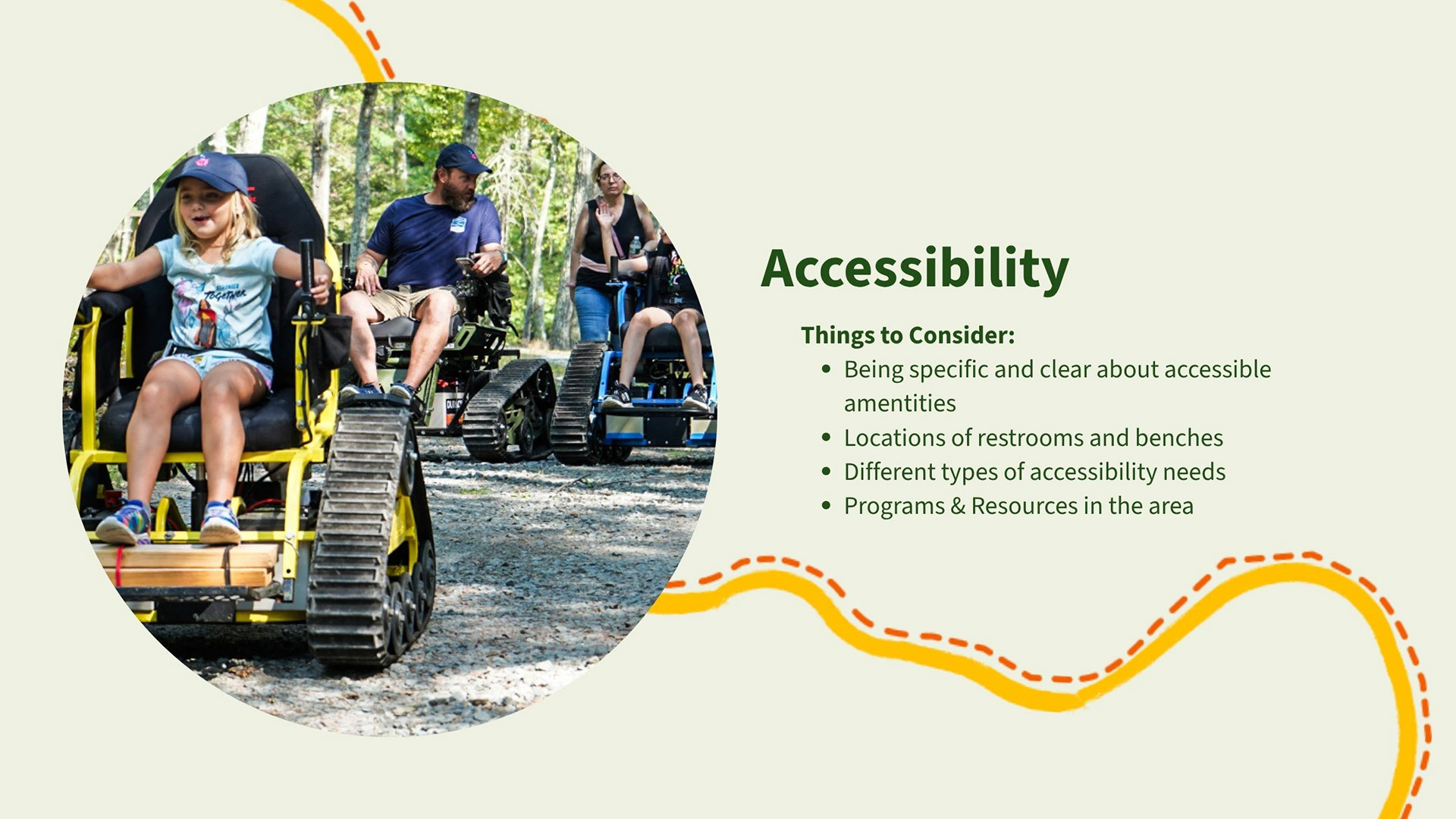
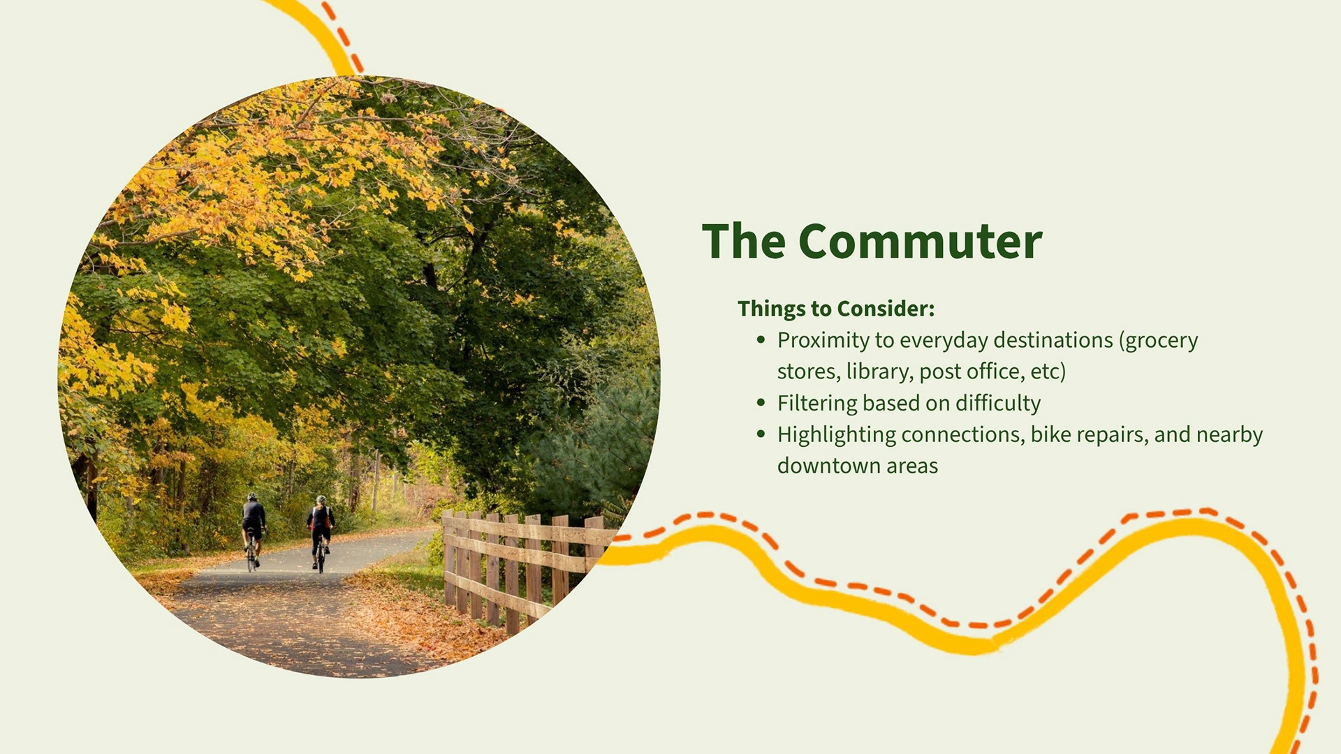
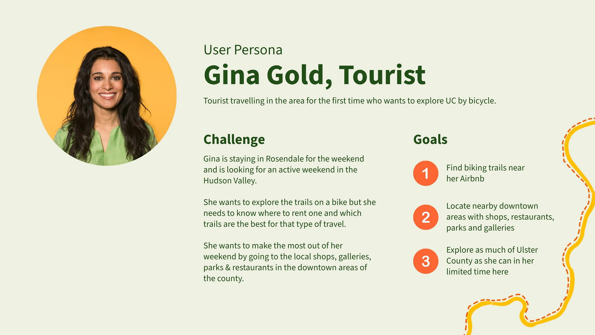
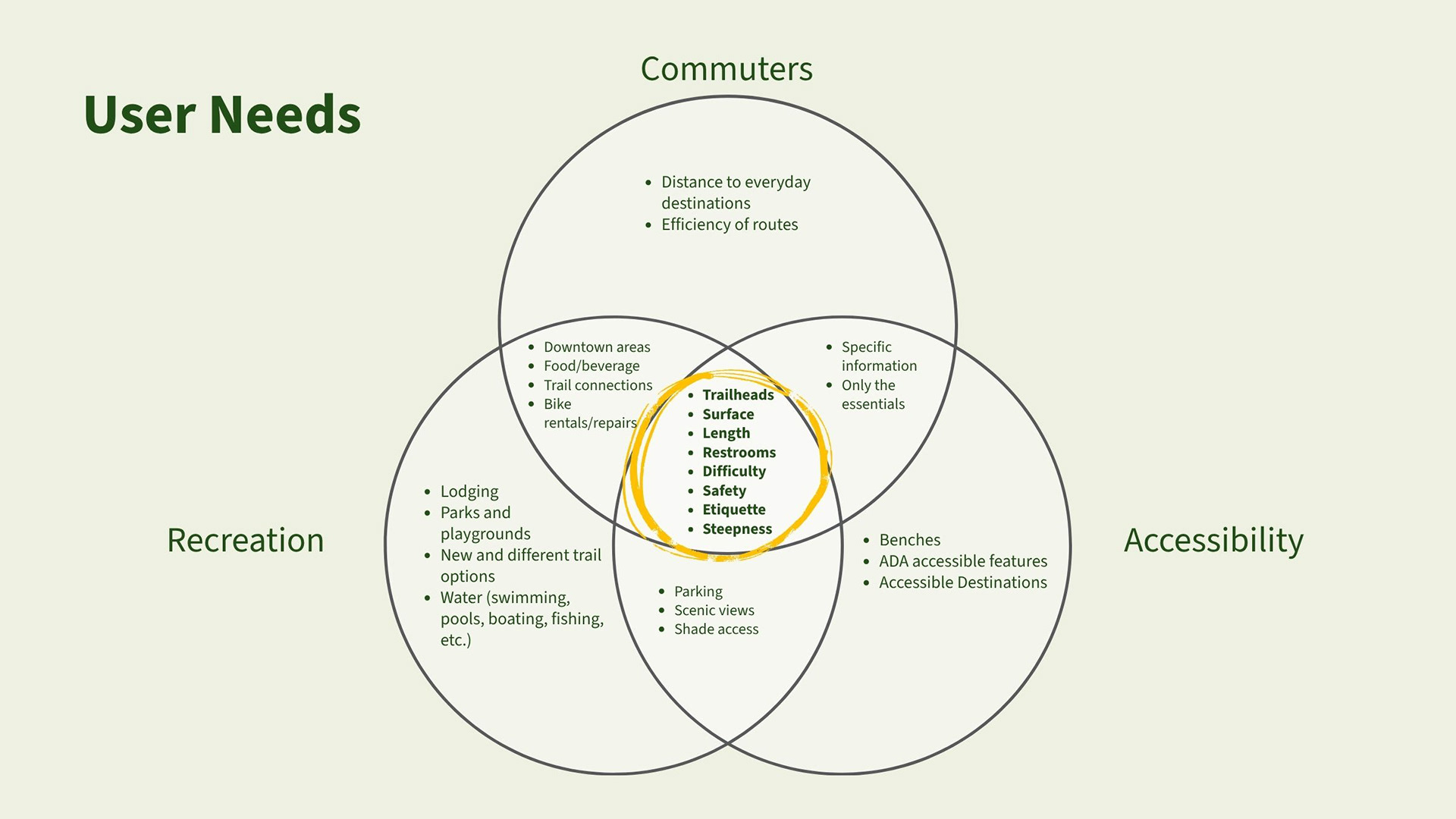
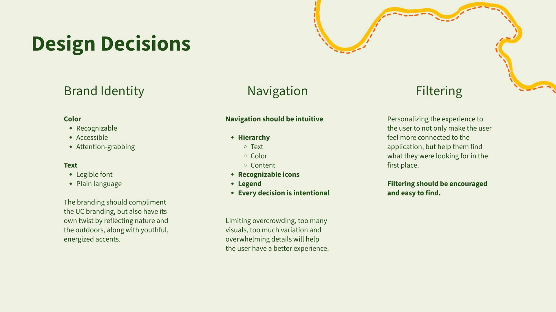
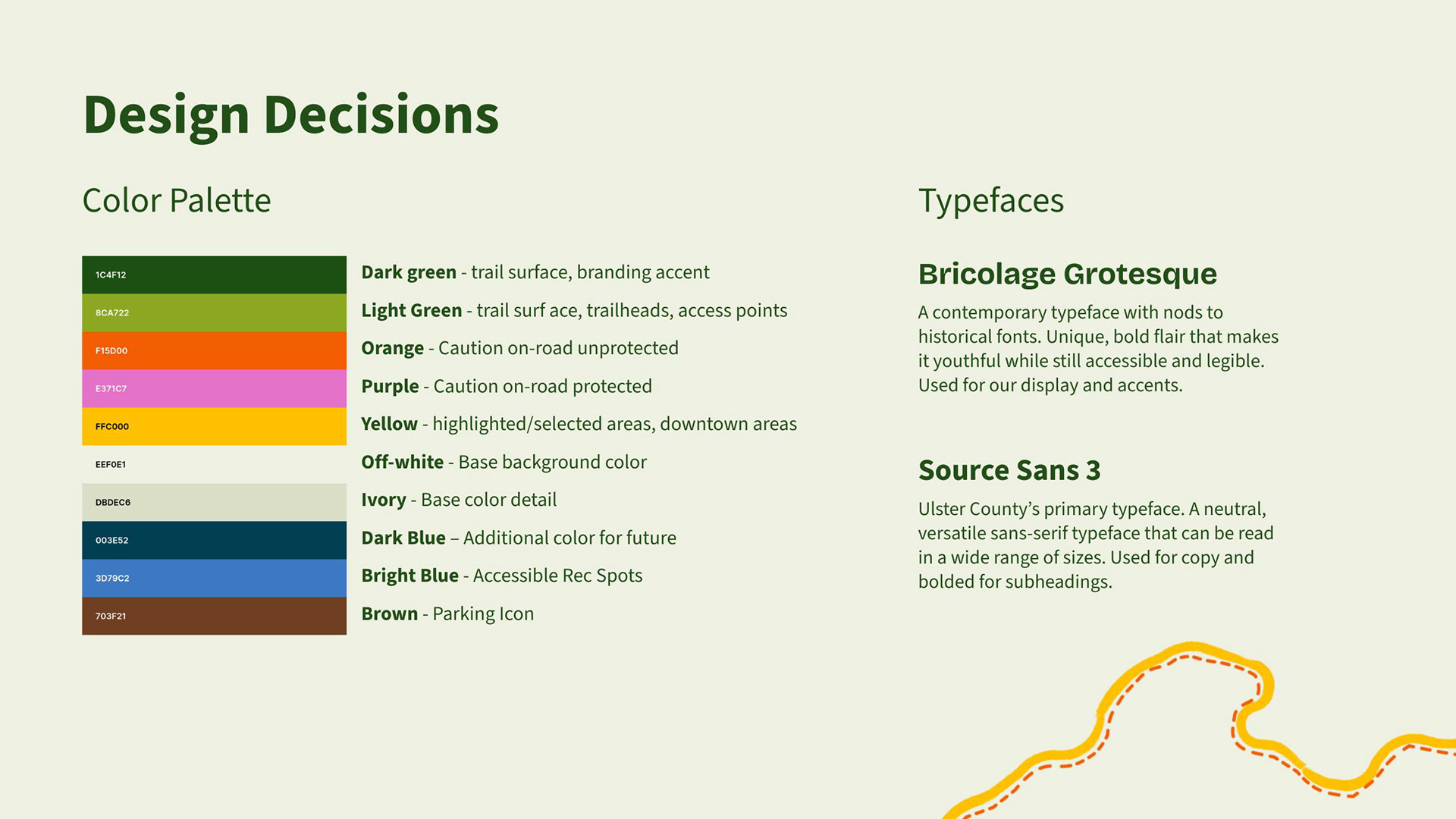
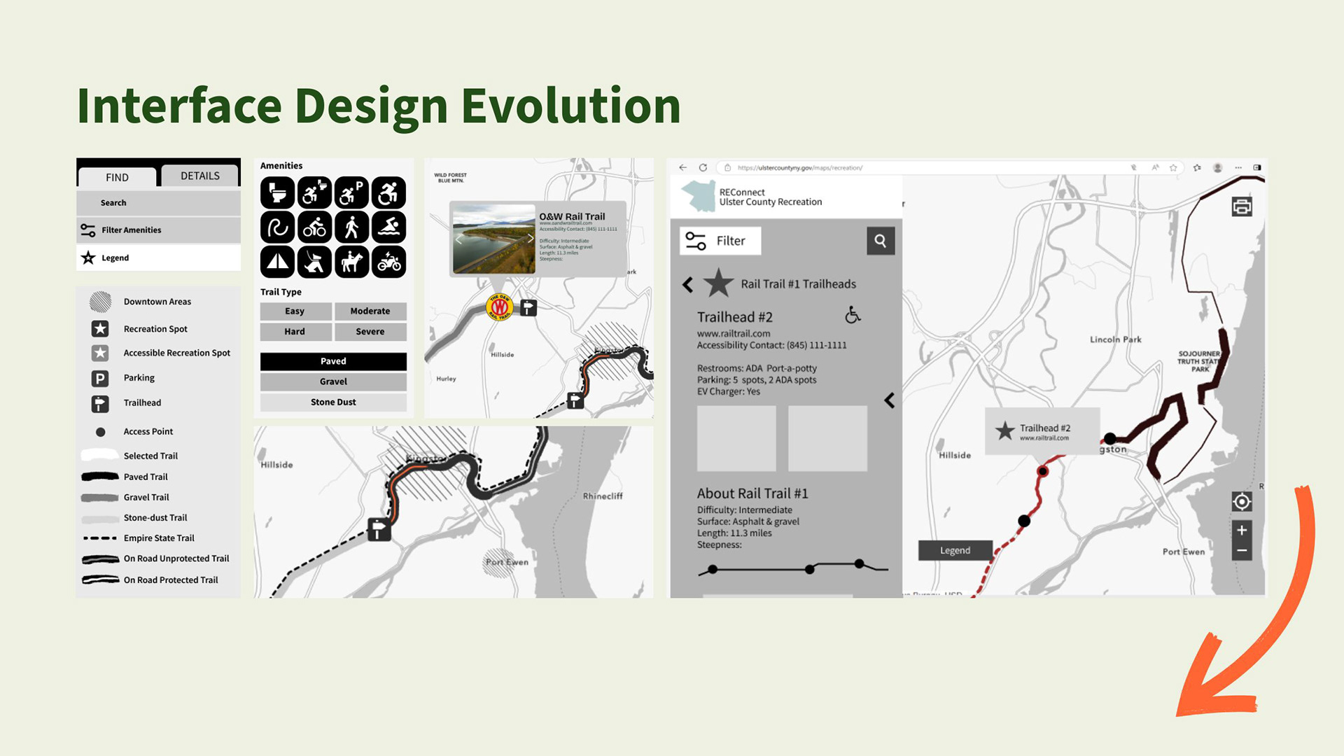
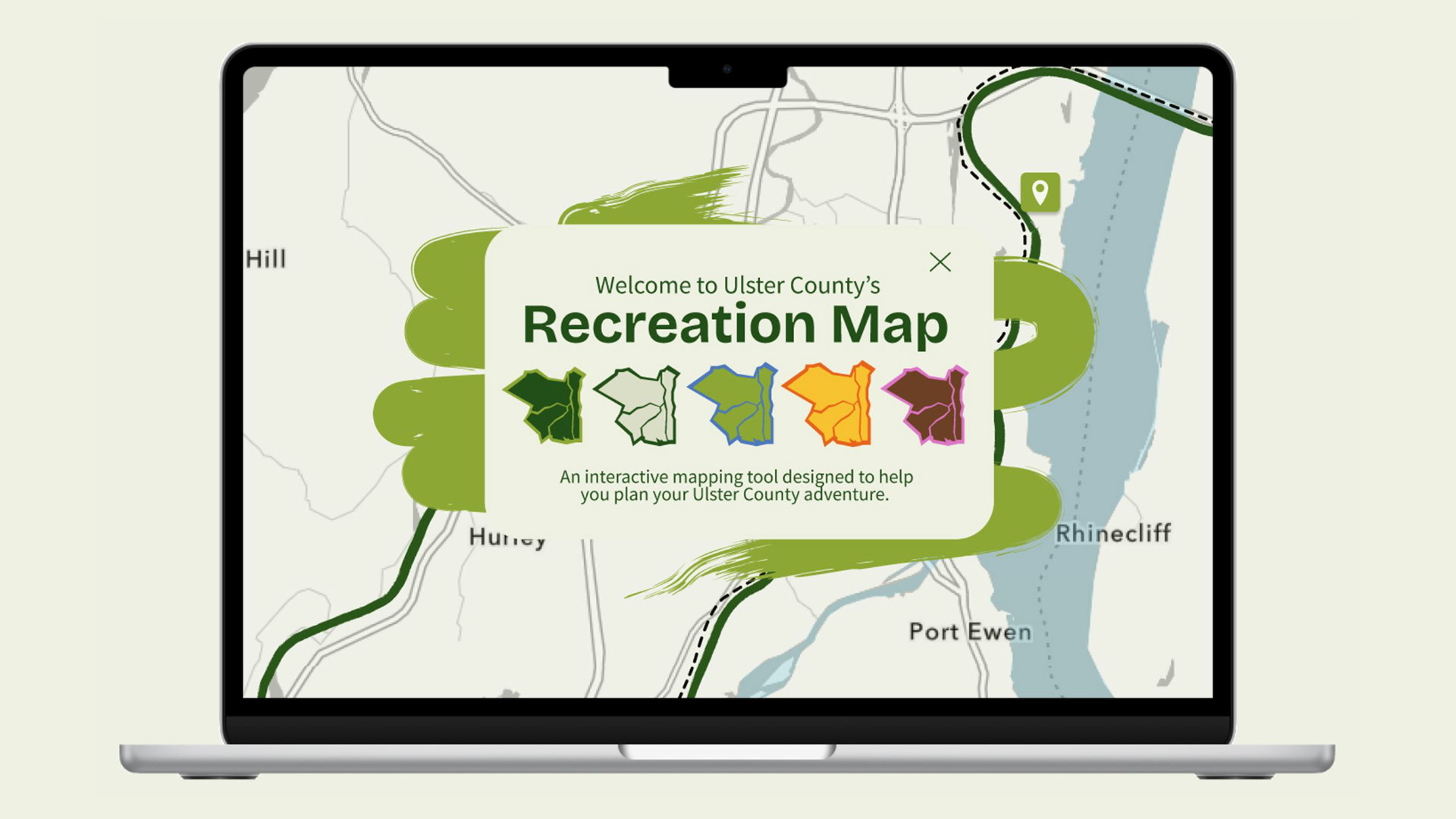
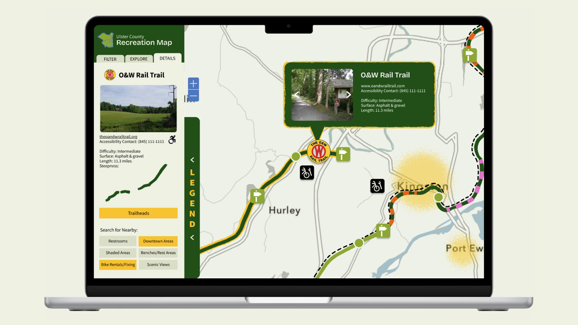
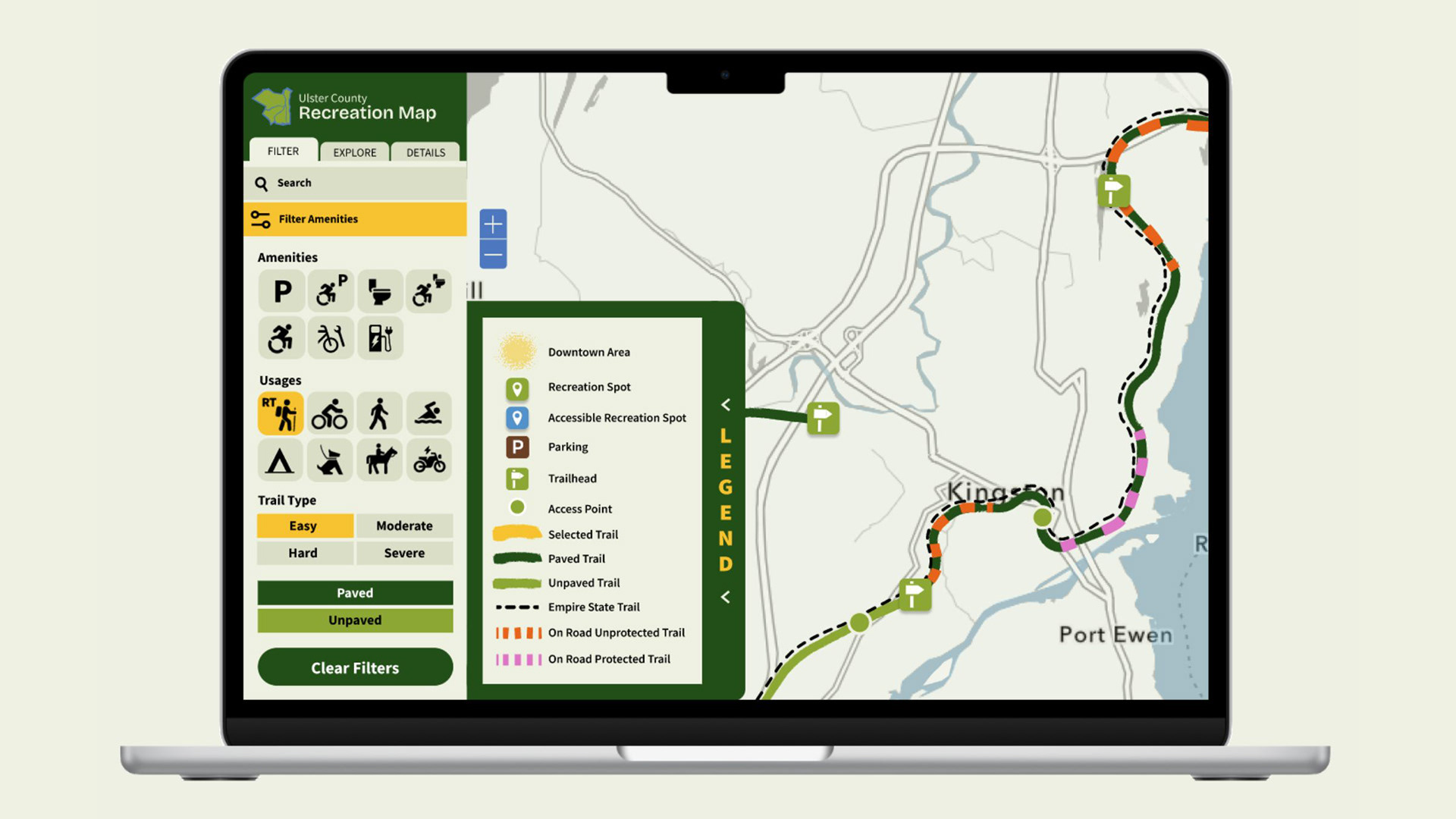
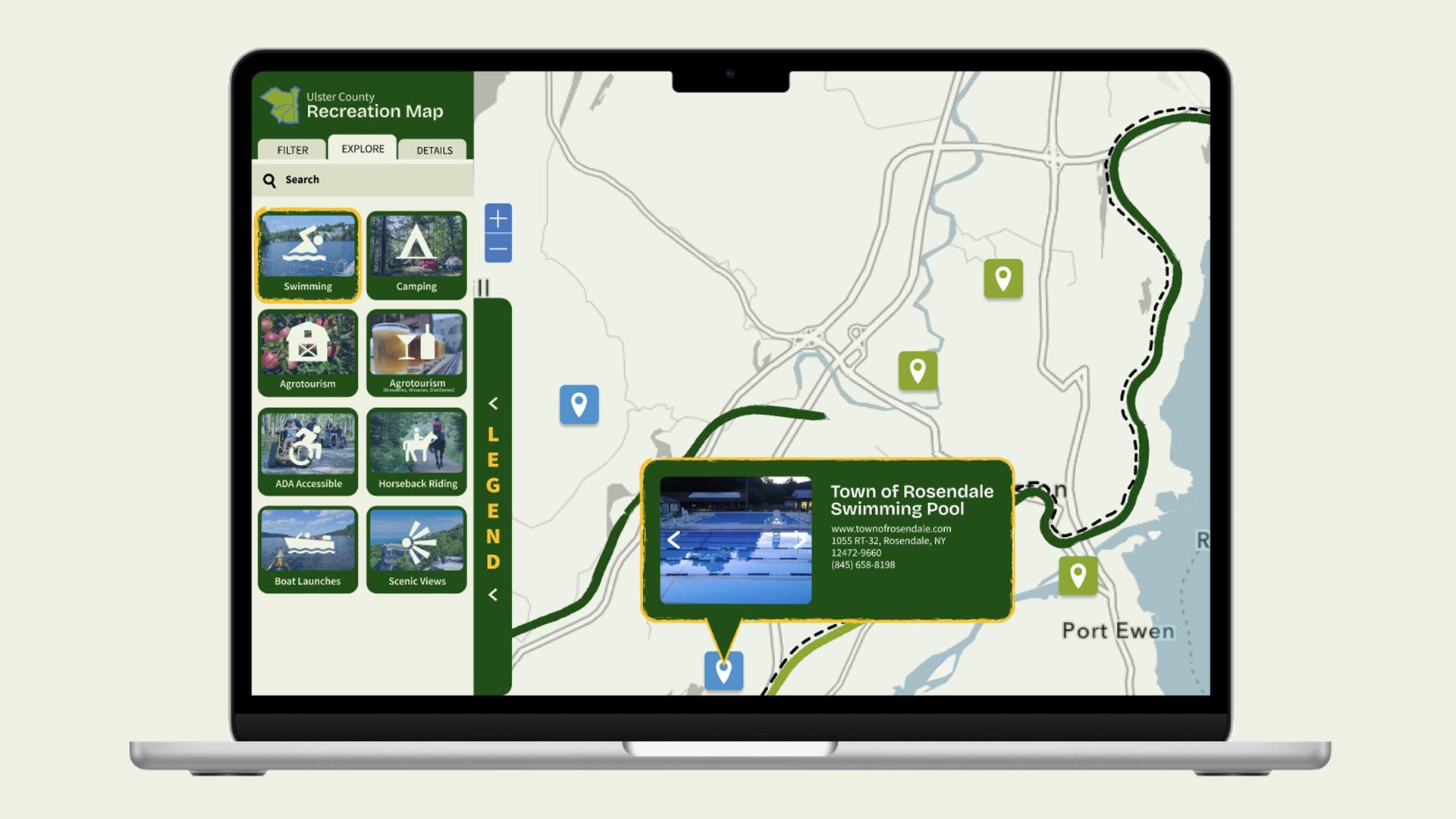
This project allowed me to facilitate stakeholder discussions and interview rail trail users at the trails. With these interviews and discussions, I was able to identify user needs and present the key findings to the stakeholders and GIS team. I created multiple iterations of mockups in Figma for the new map design that emphasizes trail surface, road safety and accessibility needs. The interface includes a new color palette and icons as well as a user-friendly map key and filtering system for a curated experience. 
Ulster County Recreation Map Branding and Interface Relaunch
The Ulster County Recreational Map is an interactive web app designed to help you explore Ulster County's large variety of recreational activities. Originally built in 2013 using an older version of ArcGIS, the map held an abundance of data but was left under utilized by the community. In 2025, Ulster County decided to launch a rebrand project for the map.
Ulster County is in the process of relaunching the map with fresh new branding, new interface design, and design decisions that come from real users on the trails.   The design team conducted user research by talking to the Ulster County Department of Tourism, the Ulster County Rail Trail Advisory Committee, Starr Adventures tourists using the trails to explore the area, commuters who bike to work, and residents with limited mobility who want to learn more about trail usage.
Audience Identification: Recreation Users, People with Limited Mobility, and Commuters
The Recreation User: Things to Consider:​ Different types of trail usage​. Highlight scenic trails & destinations. Filtering based on ability (Difficulty: Easy, Moderate, Hard)​. Unique features or amenities on or near the trails.​ Communicate trail features and etiquette​
Accessibility: Things to Consider:​ Being specific and clear about accessible amentities. Locations of restrooms and benches. Different types of accessibility needs.  Programs & Resources in the area
The Commuter: Things to Consider:​ Proximity to everyday destinations (grocery stores, library, post office, etc). Filtering based on difficulty. Highlighting connections, bike repairs, and nearby downtown areas
User persona card titled "Gina Gold, Tourist." Subtitle reads: "Tourist travelling in the area for the first time who wants to explore UC by bicycle." Under "Challenge": Gina is staying in Rosendale for the weekend and is looking for an active weekend in the Hudson Valley. She wants to explore the trails on a bike but needs to know where to rent one and which trails are the best for that type of travel. She wants to make the most out of her weekend by going to the local shops, galleries, parks and restaurants in the downtown areas of the county. Under "Goals": 1) Find biking trails near her Airbnb. 2) Locate nearby downtown areas with shops, restaurants, parks and galleries. 3) Explore as much of Ulster County as she can in her limited time here.
Venn diagram titled "User Needs" showing overlapping needs across three user groups: Commuters, Recreation, and Accessibility. The center where all three overlap — highlighted with a gold circle — lists shared universal needs: Trailheads, Surface, Length, Restrooms, Difficulty, Safety, Etiquette, and Steepness.
Slide titled "Design Decisions" covering three categories: Brand Identity, Navigation, and Filtering. Brand Identity focuses on recognizable, accessible color and legible plain-language text that reflects nature and the outdoors. Navigation emphasizes intuitive hierarchy, recognizable icons, and avoiding visual overcrowding. Filtering highlights personalizing the experience so users can easily find what they need.
Slide titled "Design Decisions" showing the application's color palette and typefaces. Ten colors are defined by role, ranging from dark green for trail surfaces to brown for parking icons. Two typefaces are used: Bricolage Grotesque for display and accents, and Source Sans 3 for body copy and subheadings.
Slide titled "Interface Design Evolution" showing three stages of a trail map application UI: an early wireframe with a legend and amenity icons, a mid-fidelity prototype showing trail detail for the O&W Rail Trail, and a higher-fidelity version of the REConnect Ulster County Recreation map with a filter panel and trailhead detail sidebar.
Title Screen
Ulster County Recreation Map application displayed on a laptop, showing the Details tab for the O&W Rail Trail. The left sidebar displays trail info including difficulty (intermediate), surface (asphalt and gravel), length (11.3 miles), a steepness graph, a Trailheads button, and nearby search options. A tooltip on the map highlights the trail's location near Hurley with the same key details.
Ulster County Recreation Map on a laptop showing the Explore tab with photo tiles for activity categories including Swimming, Camping, Agrotourism, ADA Accessible, Horseback Riding, Boat Launches, and Scenic Views. A map tooltip displays details for the Town of Rosendale Swimming Pool.
Back to Top